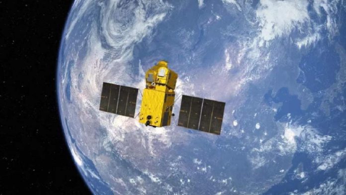
The Chinese have developed a highly advanced AI satellite to capture high-resolution images of the cities within seconds.
Chinese researchers have demonstrated that “Beijing-3”, a small commercial satellite that weighs around one ton, can produce images clear enough to identify a military vehicle on the street and determine what kind of weapon it may carry.
The Chinese launched the satellite in June 2021 to conduct an in-depth scan of the central San Francisco Bay area, covering approximately 1470 square miles.
In order to capture clear images of the Earth, satellites with altitude control mechanisms must be stable while taking pictures. General vibrations can blur images on many satellites that observe the Earth. In the Chinese experiment on Jun 16, 2021, the satellite was able to adjust the angle of its optical line of sight towards the ground as it passed over the US.
Read More: Indian border guards to rely on startups with AI technology
Due to the flexibility, the satellite could capture an area larger than any satellite could previously capture.
The satellite captures images at the height of 310 miles and a resolution of 50 cm per pixel, demonstrating its ability to capture images. At the same time, its body rotated at a speed of 10 degrees per second.
In a paper published this month in the Chinese peer-reviewed journal Spacecraft Engineering, project lead scientist Yang Fang said that China started relatively late on agile satellite technology but made significant breakthroughs in a short period of time.
The Beijing-3 satellite, according to Yang, would be the most agile and powerful Earth-observing satellite ever built. Beijing-3’s response is 2-3 times faster than that of the US’ WorldView-4 satellite, currently the world’s most advanced Earth observation satellite.
The Beijing-3 is built on a new platform known as CAST3000E, which will enable China to construct small but highly capable satellites in the future.


