


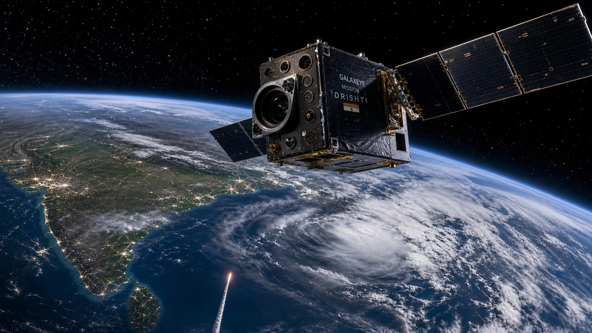
On May 3, 2026, a 190-kilogram satellite built by a five-year-old Bengaluru startup lifted off aboard a SpaceX Falcon 9 from Vandenberg Space Force Base in California. When Mission Drishti separated from the rocket and entered low Earth orbit, it became something no satellite in history had been before: the world’s first OptoSAR imaging satellite.
The achievement belongs to GalaxEye Space, founded in 2021 by five IIT Madras alumni who previously competed together in the SpaceX Hyperloop Competition. CEO Suyash Singh and CTO Denil Chawda led the technical development alongside co-founders Kishan Thakkar, Pranit Mehta, and Rakshit Bhatt. Their core question, from day one, was not how to build a cheaper satellite. It was how to build a better one.
What OptoSAR Actually Does
Traditional Earth observation satellites carry one of two sensor types. Optical sensors produce clear, photograph-like imagery in visible and infrared wavelengths but are useless through cloud cover or in darkness. Synthetic aperture radar (SAR) uses microwave radar pulses to image the Earth through any weather condition, day or night, but produces abstract, grainy data that requires significant processing before humans or AI models can interpret it.
GalaxEye built a payload that houses both: an X-band SAR sensor and a seven-band multispectral imager on a single thermally-stable optical bench. Because both sensors are co-located on the same platform, they capture the same ground area in a single pass, producing inherently aligned data. There is no need to fuse images from separate satellites with different orbit times and viewing angles. The result is a dataset the company describes as three times richer in information than a standalone sensor, at 1.8-meter fused resolution.
Onboard AI software handles sub-pixel co-registration and jitter correction in real time, ensuring that radar and optical data are precisely merged before downlink. The system can also translate radar returns into optical-like imagery for faster human interpretation.
The Geospatial AI Training Angle
This is where Mission Drishti’s significance extends well beyond the satellite itself. Training geospatial AI models has always been constrained by data quality. Optical training data is intuitive and label-friendly but incomplete: models trained on optical imagery alone fail the moment conditions change. SAR data is all-weather but notoriously difficult to annotate, slowing dataset creation and increasing costs.
Fused OptoSAR imagery solves both problems simultaneously. Annotators can work from the optical layer while the model learns to associate those labels with the corresponding radar returns. This produces geospatial AI systems with better generalization, faster development cycles, and meaningfully lower labeling costs. Applications in automated target recognition, change detection, flood mapping, crop assessment, and maritime surveillance all benefit directly.
Also Read: Karpathy Declares Vibe Coding Obsolete
India’s Strategic Context
India’s optical satellites go effectively blind during monsoon season, a period that spans months and covers the most agriculturally and strategically critical regions of the country. That dependence on favorable weather has been a persistent gap in India’s geospatial intelligence capacity. Mission Drishti is the first domestically developed asset to close it from the private sector.
GalaxEye has partnered with NewSpace India Limited (NSIL), the commercial arm of ISRO, for global distribution of its imagery. Prime Minister Narendra Modi called the launch “a major achievement in India’s space journey.” The Indian Ambassador to the United States, Vinay Mohan Kwatra, met the co-founders days before launch and described it as “a proud moment for Indian deep-tech.”
The GalaxEye Mission Drishti OptoSAR satellite was one of 45 payloads on the CAS500-2 rideshare mission, but it was the only one that represented a genuine global first in satellite imaging architecture.
What Comes Next
GalaxEye plans a full OptoSAR constellation by 2028 aimed at providing daily global coverage. A second-generation satellite platform is already in preliminary design, targeting 300-kilogram spacecraft with 0.5-meter resolution. Several subsystems from Mission Drishti are designed to scale to 500-kilogram spacecraft, enabling component reuse across the constellation.
The narrative around India’s private space sector has always been “cheaper, not better.” GalaxEye just broke that framing. This is not a cost-optimized version of something the US or Europe already built. Five IIT Madras alumni spent five years and more than 500 test flights building a genuinely new category of Earth observation hardware, and they did it faster and leaner than any government program could have.
The hard part is done. The next chapter is data services, geospatial AI applications, and scaling the constellation.
