The iPhone 15 Pro and 15 Pro Max were formally launched by tech giant Apple on Tuesday. When looking at the features of the iPhone 15 series, one can observe that Apple has iBeacon micro-location, a digital compass, and precision dual-frequency GPS (GPS, QZSS, BeiDou, GLONASS, Galileo, and NavIC). Notably, NavIC was created by the Indian Space Research Organisation (ISRO).
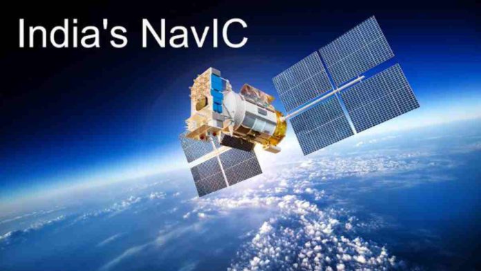
Navigation with Indian Constellation (NavIC), a regional navigation satellite system, was built by ISRO to address the country’s positioning, navigation, and timing needs. Indian Regional Navigation Satellite System (IRNSS) was the original name for NavIC.
A network of ground stations and a constellation of seven satellites working around the clock constitute the NavIC concept. In geostationary orbit, the constellation’s three satellites are situated at 32.5°E, 83°E, and 129.5°E, respectively. With an inclination of 29 degrees and equatorial crossings at 55°E and 111.75°E, respectively, four satellites are launched into an inclined geosynchronous orbit—two in each plane. The ground network comprises a control centre, a facility for precise timing, stations for measuring range and integrity, two-way ranging stations, etc.
Read More: UK to Invest £100m in AI Chips Production Amid Global Competition
Restricted Service (RS) for strategic users and Standard Position Service (SPS) for civilian users are the two services that NavIC offers. Both the S band (2498.028 MHz) and L5 (1176.45 MHz) are used to deliver these two services. India and a territory stretching up to 1500 kilometres beyond the Indian border are covered by NavIC.
The user position precision of NavIC signals is better than 20m (2′) and the timing accuracy is better than 50ns (2′). The other global positioning system (GPS, Glonass, Galileo, and BeiDou) signals are interoperable with NavIC SPS signals.


