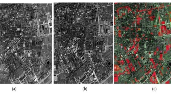
Directorate General Defence Estates (DGDE) has developed an indigenous AI-based software that will detect illegal constructions or trespassing on the defence land using satellite imaging. The software was developed by the Centre of Excellence on Satellite and Unmanned Remote VEhicle Initiative (CoE-SURVEI), along with Bhabha Atomic Research Centre (BARC), at Meerut Cantonment in Uttar Pradesh.
Currently, the technology employs trained software and Cartosat-3 imagery from the National Remote Sensing Centre (NRSC). This software can detect any alterations made to the land by comparing satellite images in a time series. It allows the CEOs of Cantonment Boards to keep track of changes being made to the area, whether or not these changes are authorized, and when to take any action if it turns out to be unauthorized.
The software is currently being used in 62 cantonments in the region and has facilitated enhanced accountability of the field staff and aided in reducing malpractices. It has detected around 1,133 unauthorized alterations, out of which 570 cases have been penalized. In the remaining cases, the Cantonment Boards have taken legal action wherever possible.
Read More: Intel’s OpenVINO v2022.1 – The Biggest Update to AI Toolkit in 3 Years
A. Bharat Bhushan Babu, Principal Spokesperson of the Ministry of Defence, tweeted, “It facilitates better control on unauthorized activities, ensures accountability of field staff, and helps in reducing corrupt practices.”
The CoE-SURVEI has also developed a means to analyze vacant land via 3D still imagery for topologies like hill cantonments. By investing more in AI-powered detecting tools, the centre is trying to ensure that defence land is optimally used and protected via Geographic Information System (GIS)-based management.
The CoE has also collaborated with other organizations for enhanced AI interface and change detection tools. The investments are aimed to benefit DGDE and Services in managing the defence land, especially in inhospitable regions.


